1. Geology and what to observe
Watch where the current speeds up around the exposed rocks and compare the broad river channel with the narrower turbulent portions. Do not walk onto wet stones.
Mekong river bend, rocks and seasonal water
A memorable bend in the Mekong east of Chiang Khan town. Water levels reveal or hide the rocky shelves, so the view is different across the year.
Open this exact place in Google Maps
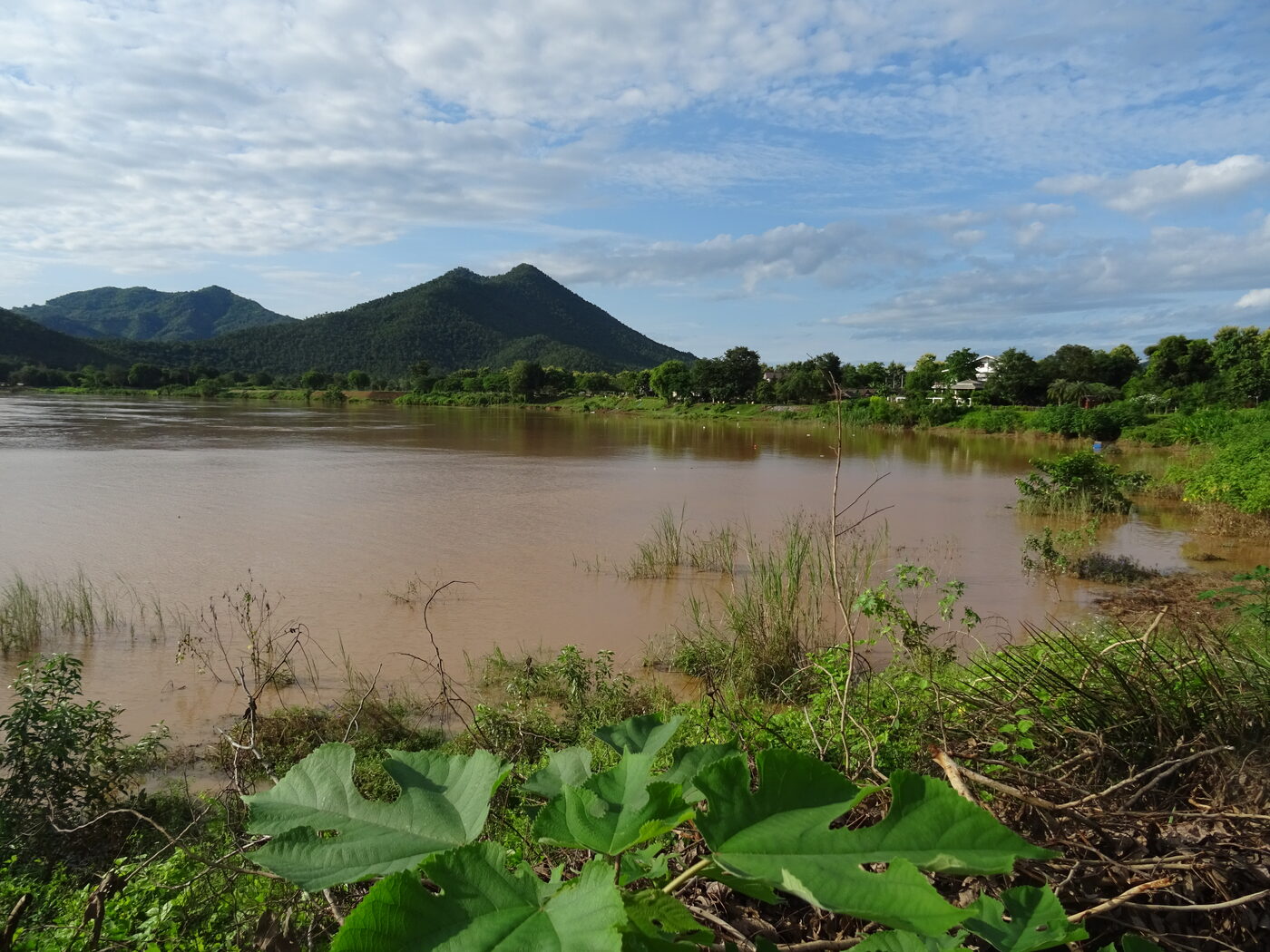
A memorable bend in the Mekong east of Chiang Khan town. Water levels reveal or hide the rocky shelves, so the view is different across the year.
Kaeng Khut Khu is a public riverside sightseeing area in Chiang Khan District, rather than a single privately operated attraction. Local visitor facilities and access routes are maintained through local arrangements; the Thailand Tourism Authority promotes the site but is not presented here as its day-to-day operator. Use entrance signage for the current responsible office and safety rules.
Kaeng Khut Khu Rapids
Natural river attraction
Chiang Khan District, Loei 42110, Thailand
Confirm current opening times, access, and any fees at the site.
The rapids have long been part of the river landscape and local river journeys. Their exposed rock formations are associated with regional folklore; distinguish those stories from documented geology.
Watch where the current speeds up around the exposed rocks and compare the broad river channel with the narrower turbulent portions. Do not walk onto wet stones.
Allow roughly 45–75 minutes for the public viewpoint, river panorama and a relaxed break. In the rainy season, expect a higher river and fewer visible rocks.
Begin at the signed visitor area, follow the public riverside path, pause at an unobstructed bend viewpoint, and return by the same established path.
This is not in the central pedestrian zone. Arrange a local car or suitable transfer, confirm a return ride and check the specific pin before leaving.
Try a wide view along the river bend, then a closer composition of rocky shelves when water is low. Early or late light emphasizes the contours.
In lower-water periods, rock ribs and channels interrupt the current. In higher-water periods the same viewpoint may show one continuous, faster-looking sheet of water. This is why photographs taken in different months can appear to depict different places. Observe from an established platform, never from a newly exposed ledge.
Visit the rapids during daylight, pause for coconut snacks sold in the surrounding tourist area, then return to Chiang Khan old town for the riverside promenade and evening walking street. Confirm road transport back before staying for sunset.
Start with the full bend and opposite bank, switch to the meeting of calm and rippled water, then include a foreground tree or rail for scale. Avoid exaggerated close-up images that hide the actual river setting.
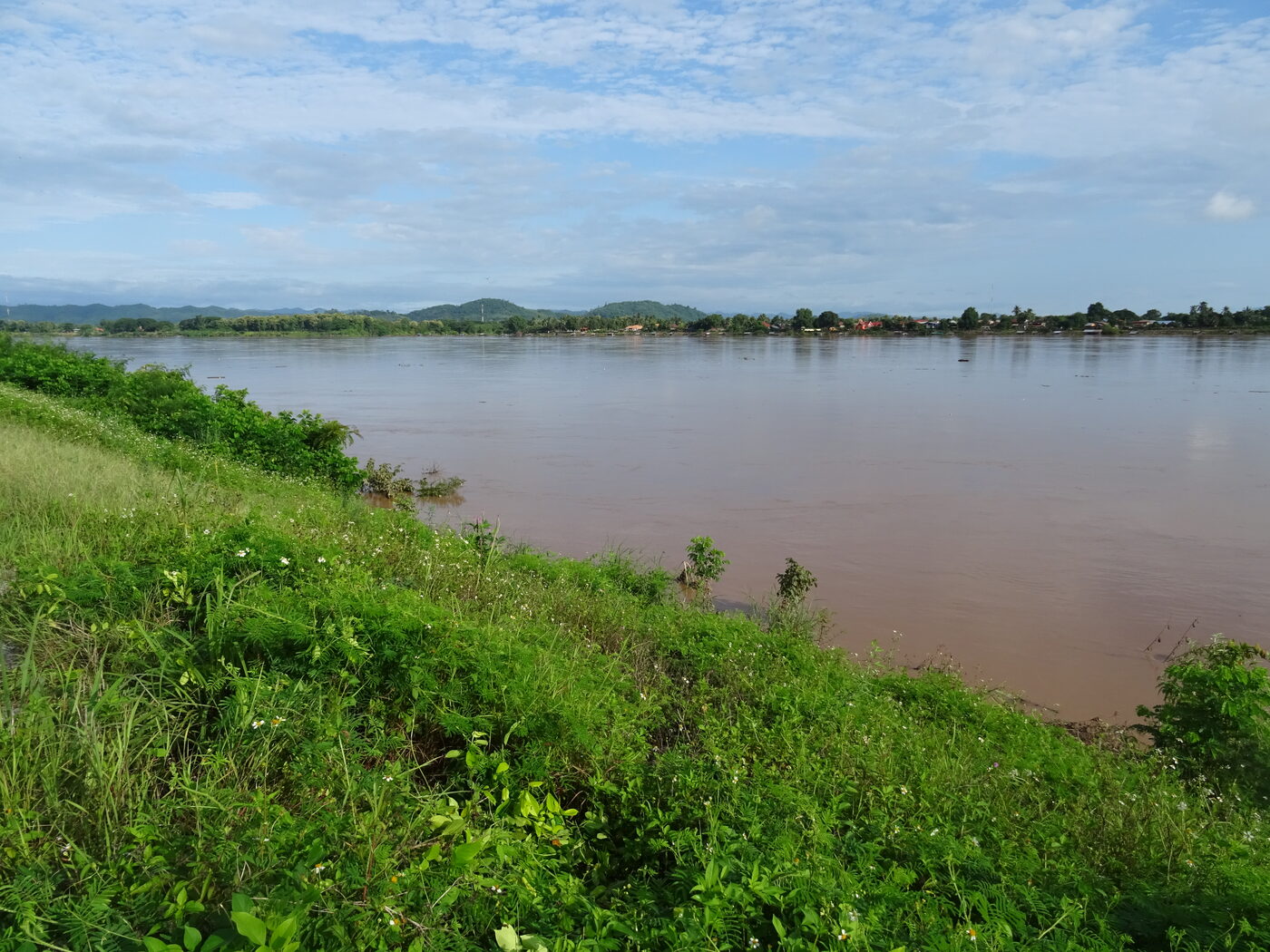
Image rights: all images displayed on this website remain the property and copyright of their original photographers.
No. It is a separate Mekong river viewpoint outside the central old town.
Stay in designated visitor areas; wet or submerged rocks and strong currents are dangerous.
No. The visible formations depend on Mekong water levels and recent rain.
Chiang Khan District, Loei 42110, Thailand
Open this exact place in Google Maps: Kaeng Khut Khu Rapids
Morning mist and views over the Mekong valley
Buddhist architecture in Chiang Khan old town
Historic riverside temple and old Chiang Khan stories
Riverside temple on the road to Kaeng Khut Khu
Glass-floored views over the border rivers
Raised timber houses and living textile traditions
Hill temple, Buddhist devotion and scenic surroundings